This tutorial explains how to find the shortest distance between 2 points on OpenStreetMap. BRouter is a free online tool to quickly find the shortest path between any two points with ease. Here it offers you a fully functional OpenStreetMap where you can just mark any two points and it will generate the shortest route that you can note down or analyze.
This little website is good for cyclists and athletes who often take part in different marathons. Even though you can use Google Maps to do the same thing but if you like open-source tools then I am sure that you will like OpenStreetMap. It is developed by the community and it is an open-source alternative to Google Maps as well. It lacks many features such as distance calculator but now someone has created BRouter to fix this problem.
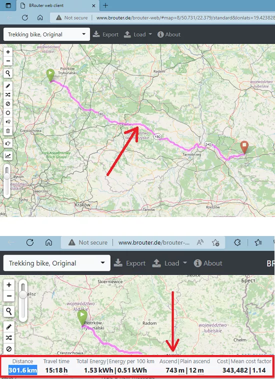
Before your race or any marathon event, you can now just open the website and calculate the distance. You just have to give it two points and it will draw the path for you. Additionally, it leaves some important parameters there for you as well such as total distance, total energy, cost, and more.
How to Find Shortest Distance Between 2 Points on OpenStreetMap?
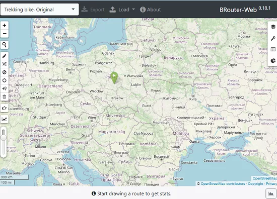
You can reach the main website of BRouter here and start using it right away. There is a big OpenStreetMap on the main UI and there is a small search box at the top right side. This map supports zoom, scroll, and panning like features. For zoom, you can use the + and – button or mouse wheel. To pan, just click and drag.
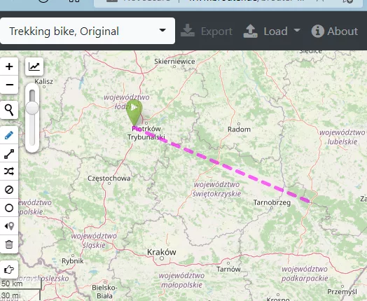
Now, you need to mark any two points anywhere on the map. And it will join them using a straight line. You can see this in the screenshot below. If you want then you can also create multiple points to specify a path. Make sure that the points that you specify are not too far from each other.
When you leave your mouse then it will take a couple of seconds and will calculate the path. It will then show you the shortest distance with the other stats at the bottom side. You can see this behavior in the screenshot below.
This is all it takes to calculate the shortest distance between any points on OpenStreetMap. The process is very simple and straightforward. BRouter works for most locations on the map. But there are places it won’t work. And unfortunately, if you are from those places, such as Asia, then you will have to rely on some other alternative.
Final thoughts:
If you are looking for a way to easily calculate the shortest distance on OpenStreetMap then you are at the right place. BRouter is a nice and simple website which can help you do this. I liked the fact that there is no sign up or registration in order to use it. All you have to do is specify the source and destination and it will take care of the rest automatically.