Both teachers and students understand the significance of maps. They are of great historical significance. They depict landscapes as they used to be and changes that have occurred in the landscape over the years. Library of Congress is one website which has a collection of historical maps for your reference. This website has over 30,000 historical maps.
A lot of maps are available in the public domain or under Creative Commons License. So you will be able to print them, download them easily. Teachers can use these maps to show the students changes that can be noticed in the current map and old maps. Whereas, students can use them to research for their homework, or projects.
Let’s look at this website in detail.
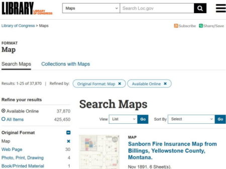
When you open this website using the link given at the end of this article, you will see an interface like the one shown above. If you see in the top left side you will see how many maps it has in its collection, about 37870. That’s a huge number.
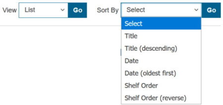
By default all the maps are displayed in a list view. But this can be changed using the drop down boxes given towards the top right side. You can change the view to gallery view, grid view, or slideshow. You can also sort the maps by title, date, or shelf order using the next drop down.
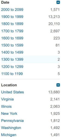
Now for searching a map you can look at the left side categories. The maps can be browsed using these categories like online format, date, location, part of, contributor, subject, and language. All these categories have further sub categories, this can be seen in the screenshot above. Like the location category is further divided into states of US.
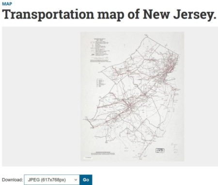
When you click on a map, it will open in full page view. This can be seen in the screenshot above. The top of the page will have the map, below the map you will see options to download and details about the map. Like in the screenshot above you can see the map which opened.
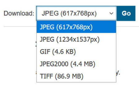
On the bottom left side you will see a download option. The download option has various resolutions available in which this map can be downloaded. Choose the resolution or format and click the go button. This will download the map to your device in the format that you chose.
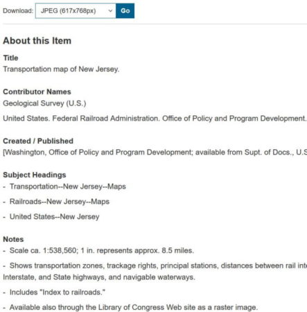
Below the download button, you will see the details about the map such as title,contributor name, created/ published by, subject headings, notes, etc. The bottom of the page has the rights & access information of the map.
Overview:
The Library of Congress website has a great collection of historical maps which can be used to make comparisons between the old maps and the present ones. This website is a great resource for teachers and students. Teachers can use this to show students how the landscape has changed over time. While the students can use it to research for their projects, homework, etc.
Check out Library of Congress website here for historical maps.