Here are 5 free websites to find historical maps.
Historical maps are a boon for researchers to learn about a place, geographical area of a country, and for many other things. These websites give you a simple solution to explore the old maps of the world. You can use any of these websites to find some rarely available old maps of the world or a country.
All of these websites have their special feature(s). For example, you can use the timeline to go back in past and explore historical maps, find railroad maps, order prints of scanned images of maps, etc.
Let’s start with one of the popular historical maps collection website available in this list.
David Rumsey Historical Maps Collection
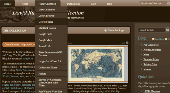
I think this website doesn’t need any introduction as it comes under the category of world’s largest old map collections. The database of David Rumsey Historical Maps Collection includes 150,000+ maps (including cartographic items). The website mainly focuses on the old maps of North and South America, but you can also find old world maps in large quantity.
Its homepage provides separate sections which makes it easy to explore historical maps of a particular country or place. For example, you can use View Collection menu, search box and Blog menu to find recently added maps, features maps, etc. Apart from this, it also gives detailed information for a map like the author name, publisher, publisher location, map type, etc.
Old Maps Online
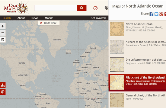
Old Maps Online is amongst the best repositories of historical maps in this list. Its database shows results from the best sources (like David Rumsey Historical Map Collection) available over the web. Multiple maps are provided in results for a single place or country. You can also see the name of author and publisher of every single map. So you will be able to explore as much as possible using this website.
What I like the most in this website is that you can set the timeline (date range) to filter the search results. Apart from this, you can also use its tool (known as Exact Tool) to limit the search within a particular area. So finding and exploring the old maps using this website become so easy.
World Maps Online
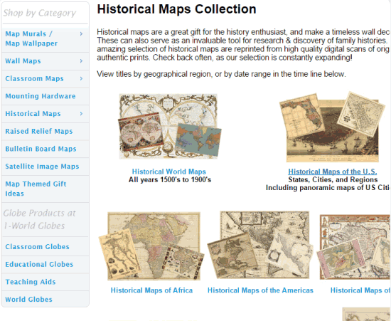
World Maps Online provides neatly structured sections to explore wall maps, classroom maps, and historical maps. Under historical maps section, it stores World Maps, Maps of Americas, Maps of USA, Railroad Maps, Historical Map Prints, etc. You can select any option and explore all the prints of old maps. If you want, you can also buy the prints or simply view them.
Its database collection is not so rich, but it is updating with more and more scanned images of real maps. So it can be useful to find some rare historical map which you are in search for.
Perry-Castañeda Library Map Collection
Perry-Castañeda Library Map Collection (by University of Texas) is a catalog of historical and other maps. Here you can find maps of The Americas, World, Texas, The United States, Polar regions and Oceans, Europe, etc. Maps are available as JPG images and you can zoom in/out a map to find the information of your interest. You will also be able to explore historical maps of cities, states, national parks, and territories of a particular country. It also provides the links of other websites for finding the old maps. So you won’t regret using this website to find the old maps.
Historic Map Works
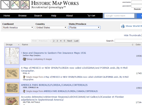
This website stores a good collection of scanned images of original maps. It has stored historical maps of North America and the world that includes United States Property Atlases, Nautical Charts, Antiquarine Charts, etc. Browsing the maps for a particular country or state is so easy with this website. You need to select the continent, country, and state and then it will show the list of maps. You can further filter the results by entering the keywords (date or a text).
Downloading the scanned image of a map is not available for free, but yes you can view the image and use zoom in/out options to find the information related to a map.
Conclusion:
All these websites are great and their databases have a good amount of historical maps. However, I would personally recommend you to use any of the first two websites. David Rumsey Historical Maps Collection has the huge database and Old Maps Online is integrated with multiple sources to provide you old maps.


